...
Services
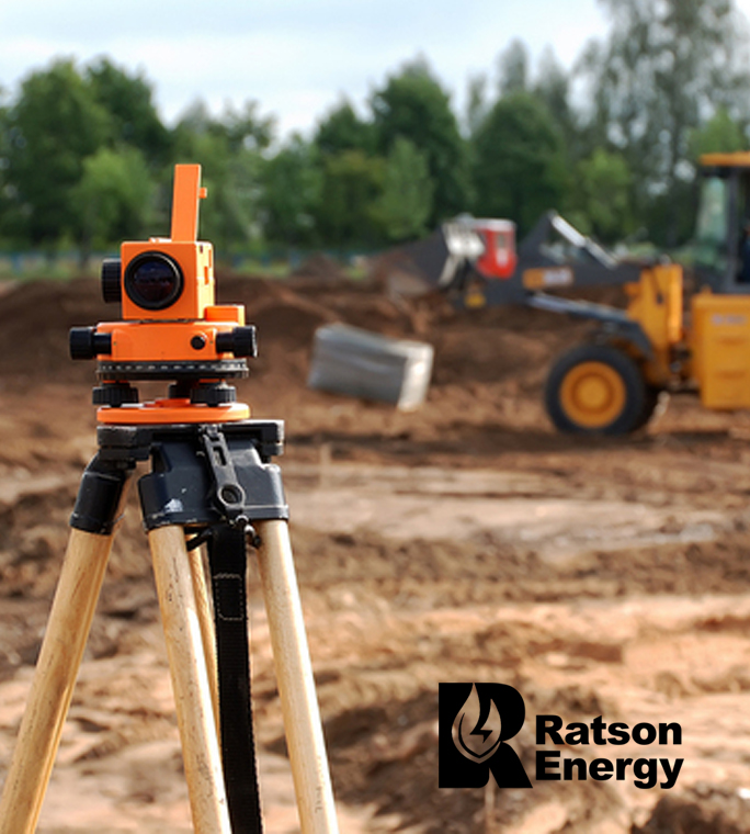
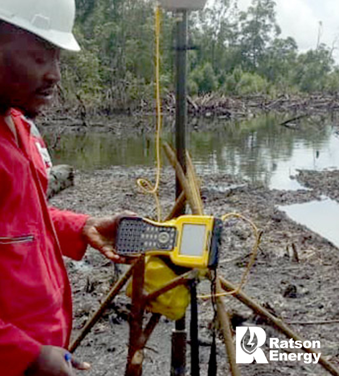
Survey and Mapping Services
Ratson Energy Expert Survey and Mapping Solutions, that provides Accurate Data for Informed Decision-Making
Services
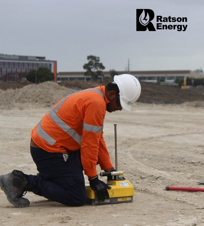
Geotechnical Services
Our geotechnical services provide reliable data and recommendations for various applications, including soil and rock investigations, site characterization, foundation design and analysis, slope stability assessment, and geotechnical risk assessment.
Services
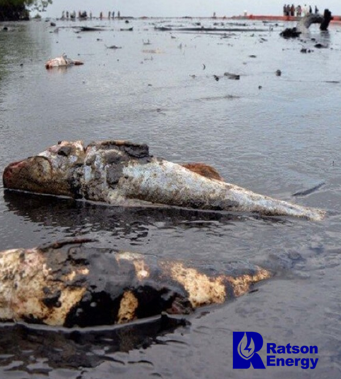
Environmental Sensitivity Index Mapping (ESI) Services
Our Environmental Sensitivity Index (ESI) Mapping services support sustainable practices in Nigeria’s oil, gas, and construction sectors by providing detailed maps. Key services include data collection and analysis, identification of sensitive areas, risk assessment, regulatory compliance, stakeholder engagement, and developing environmental monitoring and management plans.
Services
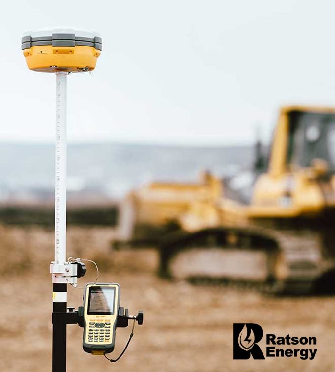
Geographic Information System Support Services
Ratson Energy specialize in the collection, storage, and management of geospatial data. Our team ensures that your data is accurate, up-to-date, and easily accessible, enabling you to make informed decisions based on reliable geographic information
Services
Hydrographic Survey services
Ratson Energy provides critical Hydrographic Survey services for marine and offshore projects in Nigeria’s oil, gas, and construction sectors. Key services include detailed bathymetric surveys, seabed mapping, subsea infrastructure surveys, tidal and current analysis, and environmental monitoring. These advanced surveys ensure safe, efficient, and environmentally compliant marine operations.

